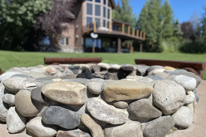
Harriman State Park lies within a wildlife refuge in the Greater Yellowstone Ecosystem, along the Henry's Fork of the Snake River. Moose, elk and sandhill cranes are common, and so are trumpeter swans, North America's largest waterfowl.
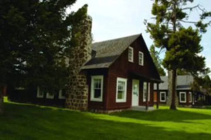
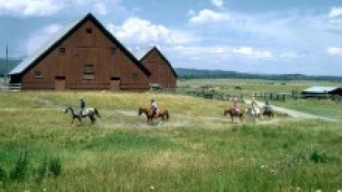
The park was once the Railroad Ranch, the private retreat of the Harriman family of Union Pacific Railroad fame and their partners. For decades the owners protected the wildlife here, and many of the original ranch buildings, from the cookhouse to the horse barn, are still standing and cared for. Summer brings tours of the ranch.
Miles of trails are open for hiking, biking and horseback riding, and in winter they are groomed for cross-country skiing. The "Ranch" section of the Henry's Fork draws fly fishers from around the world.
26°F Cloudy
- Wednesday High 50° · Low 22° Areas Of Fog then Partly Sunny
- Thursday High 42° · Low 24° Areas Of Fog then Mostly Cloudy
- Friday High 39° · Low 21° Partly Sunny
Forecast from the National Weather Service, updated 4:49 am.
Conditions now
Snow
Island Park, 6,300 ft, 7.7 mi away
- Snow depth
- 0 in
- Change in 24 hours
- 0 in
- Change in 7 days
- 0 in
- Snow water equivalent
- 0 in
- Snow water equivalent, % of median
- 0%
From the USDA NRCS SNOTEL, updated 3:48 am.
Rivers
Henrys Fork near Island Park, ID, 7.3 mi away
- Flow
- 84 cfs
- Change in 24 hours
- 0 cfs
From the U.S. Geological Survey, updated 4:49 am.
National park alerts and road events
Yellowstone alerts (3)
Park-wide, from the National Park Service. All current conditions at nps.gov
- Most Park Roads Closed to All Vehicles (Park Closure): Most roads are closed to prepare for commercially-guided snowcoach and snowmobile travel during the winter season, which will begin December 15 (weather depending). The road between the North and Northeast entrances i…
- Biscuit Basin Closed Due to Hydrothermal Explosion (Park Closure): The parking lot, boardwalk, and Firehole River at Biscuit Basin, located north of Old Faithful, is closed to all travel until further notice due to the possibility of another event at the site of a hydrothermal explos…
- Traffic Delays - Gardner River High Bridge (Information): Expect a single lane of traffic with up to 15-minute delays, 24 hours a day, seven days a week, from April 1 through November 24, 2026. Oversized/overweight vehicles (8'6"+ wide, 75'+ long, 80,000 lbs+ gross vehicle w…
From the National Park Service, updated 4:49 am.
Roads and passes
Mountain passes
- Targee Pass: Dry, Array, Array · US 20 · 7,077 ft
- Reynolds Pass: Dry, Array, Array · SH 87 · 6,836 ft
Road conditions
- Fall Riv Br/Chick Creek from MP 354 to MP 385: Dry, Array, Array
- Chick Creek/Montana Line (Targee Pass) from MP 385 to MP 406: Dry, Array, Array
- Ahston/Warm River from MP 0 to MP 12: Dry, Array, Array
- Teton Co Line/Ashton from MP 8 to MP 28: Dry, Array, Array
- Henry’s Lake/Montana Line (Raynolds Pass) from MP 0 to MP 9: Dry, Array, Array
- Sugar City/Fall Riv. Br (Chester) from MP 334 to MP 354: Dry, Array, Array
From the Idaho Transportation Department / 511, updated 4:49 am.
Highway cameras
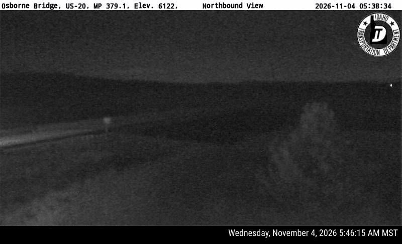
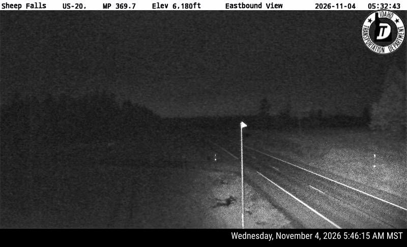
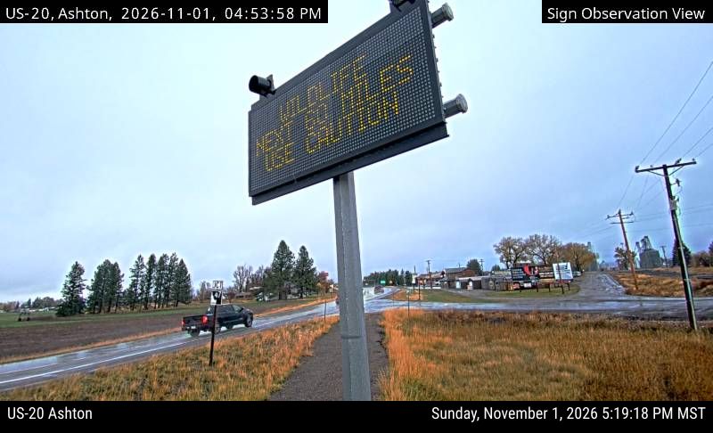
From the Idaho Transportation Department / 511, updated 4:49 am.