
Off the main road Local Tips & Hidden Gems

August and September keep all of summer's energy, but leave a little more room to slow down. Just off the main road, Island Park hides quiet water, empty trails, and evenings worth staying for.
Big Springs
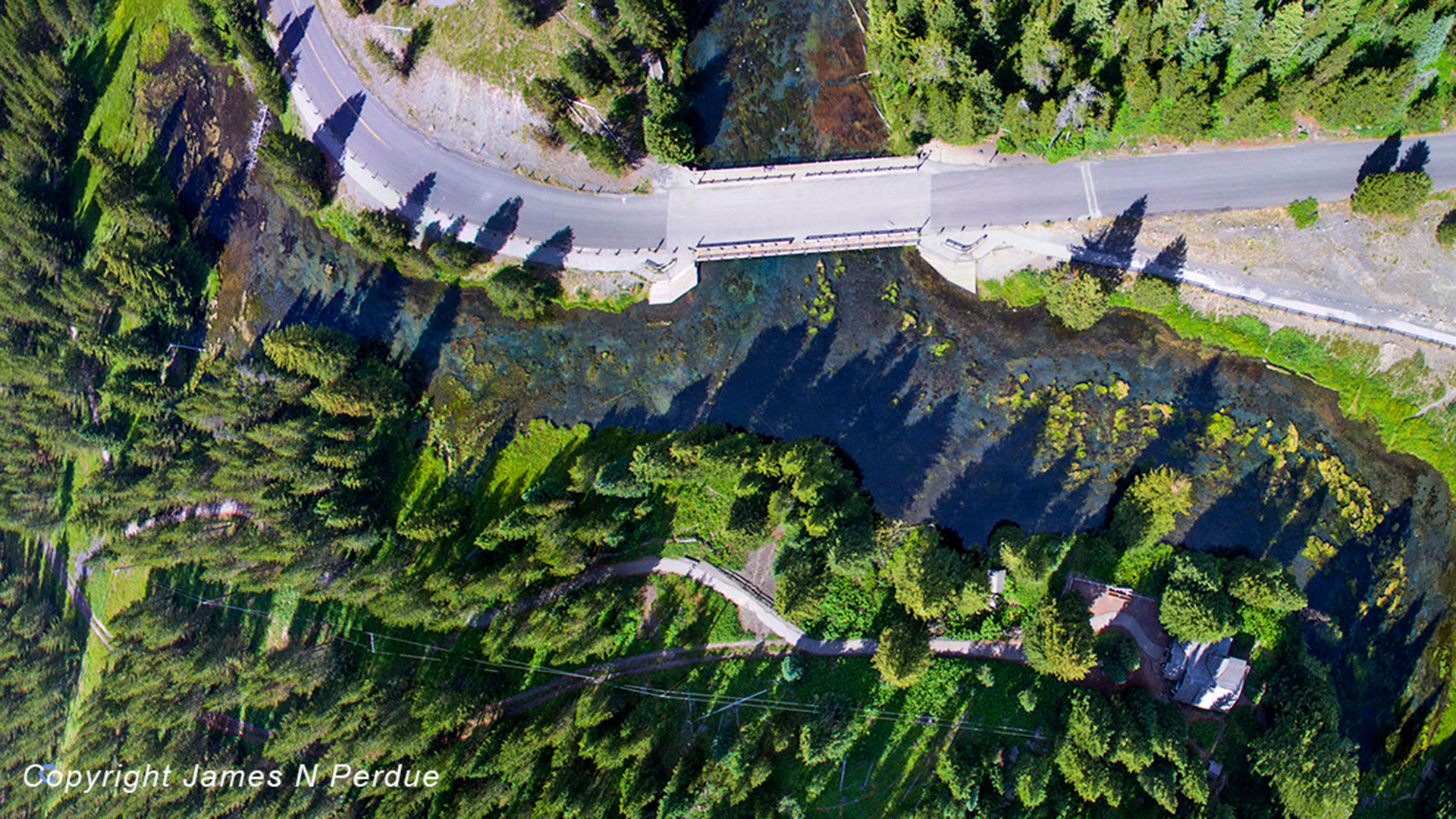
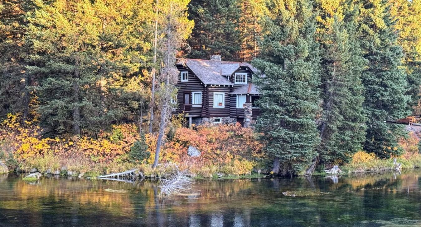
Everyone knows Big Springs — and for good reason. The water rises crystal-clear straight from the ground at a constant 52 degrees, cold enough to see the giant rainbow trout finning below the surface (no fishing allowed here, so they grow huge). But the visitors who only stop at the boardwalk miss the better half of the trip. Rent a kayak or tube and float the Big Springs Water Trail down the headwaters of the Henry's Fork — a slow, glassy stretch where you'll drift past moose in the willows more often than other people. Just upstream, the Johnny Sack Cabin — a hand-built 1930s log cabin with its own waterwheel — is one of the most photographed buildings in the region and still one of the least crowded.
The Mesa Falls Scenic Byway
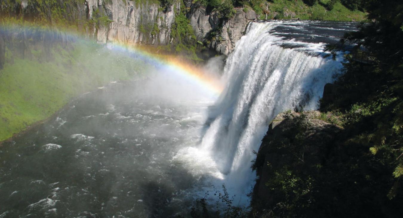
The Mesa Falls Scenic Byway is the detour most Yellowstone-bound travelers blow right past. Upper Mesa Falls drops 114 feet and you can feel the mist from the boardwalk — a genuine rival to anything inside the park, with a fraction of the crowd. For anglers, late August is prime: the Henry's Fork fishes beautifully as the heat eases, and the quieter access points along the lesser-known stretches reward anyone willing to walk a few minutes from the pullout. Time it for evening, when the sun drops low across the caldera and the whole basin goes gold. Those are the nights guests remember long after they've forgotten the drive to Old Faithful.
Off the Beaten Path
For anyone willing to trade pavement for gravel, the high country above Island Park is where the crowds truly disappear. Drive to the top of Sawtelle Peak Road and you'll stand at nearly 9,800 feet with a 360-degree view spanning three states — Idaho, Montana, and Wyoming — one of the few alpine summits you can nearly drive to. From up there, the Continental Divide Trail runs some 36 miles through the district, with quiet access points off Targhee Creek and Black Canyon roads that see a handful of hikers a day, if that. Prefer two wheels or four? The old railroad grades and forest roads around Coffee Pot and the Buffalo River make for easy, scenic ATV and mountain-bike routes through tall timber. Wherever you go up here, this is bear country — carry spray for every adult in your group, and let someone know your plan before you head out.