
Approximately 36.4 miles of the Continental Divide National Scenic Trail runs through the Island Park District. Access points to the CDT Trail Are: BLACK CANYON ROAD, TARGHEE CREEK ROAD, KEG SPRINGS ROAD, and EAST DRY CREEK ROAD.
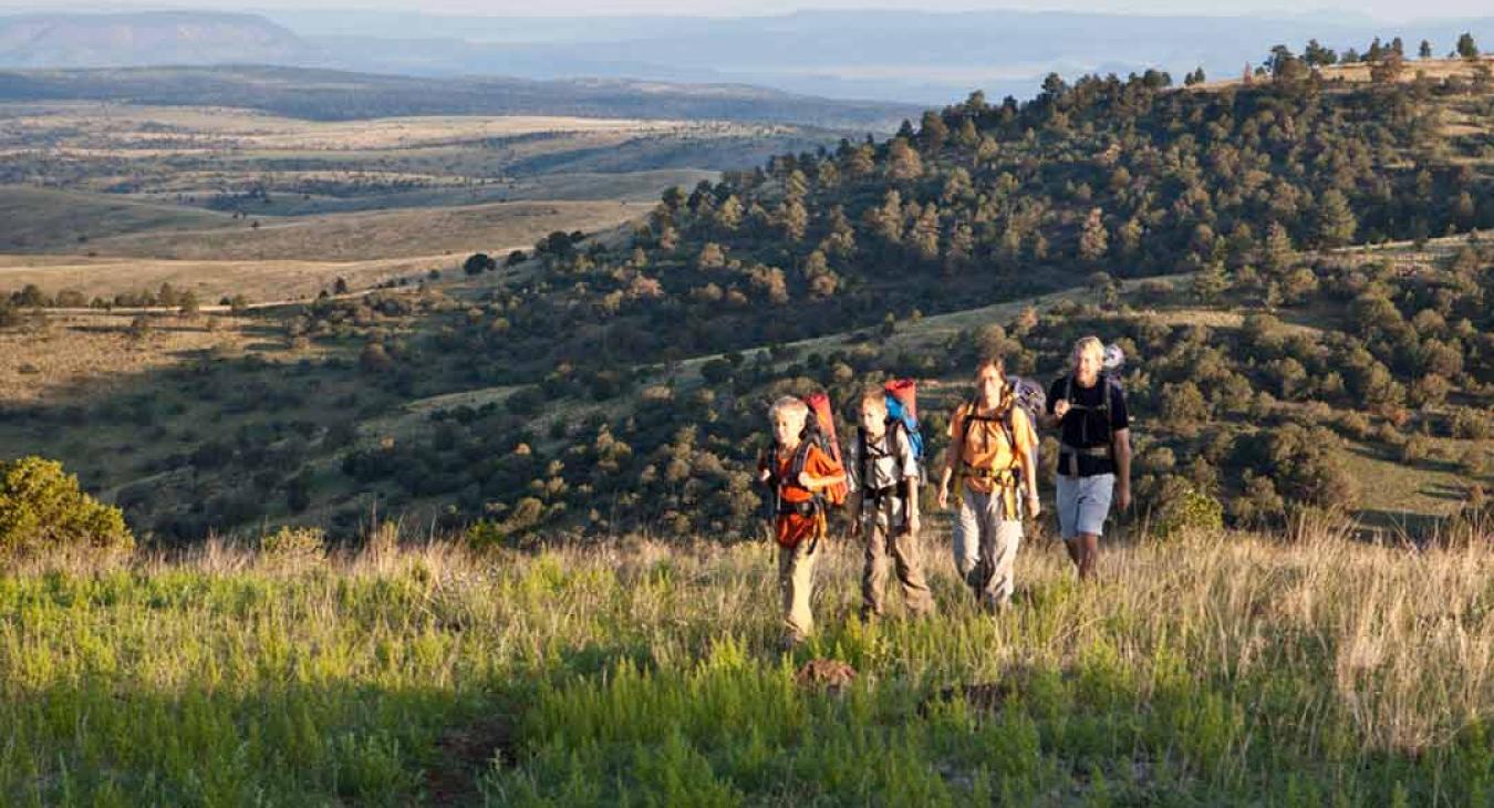
The Trails are in moderate to difficult terrain, often in the higher elevations. Some of the trail is located in situation 1 Grizzly Bear Habitat, so visitors are urged to use proper food storage and camping practices when camping in this area. Panoramic views and challenging terrain make this trail a memorable experience.
Major Access Points
Gallatin National Forest
Total Miles: 40
Targhee Pass: From Idaho Falls, ID- travel North 57 miles on US Hwy 20. Hwy 20 is then marked as Hwy 20 or Hwy 18. Continue on Hwy 20/18 north 47 miles to Targhee Pass.
Reynolds Pass: at the junction of Hwy 20/18 and Hwy 87, travel north on Hwy 87, 11 miles to Raynolds Pass.
BLM Dillon Field Office: The Centennial Mountains
Total Miles: 30 miles
Red Rocks Pass: From Macks Inn, take US 20 north approximately 5.5 miles and turn left on to Bootjack Pass Road. Follow Bootjack Pass Road approximately 7 miles to Red Rock Pass Road. Trailhead is at the top of Red Rock Pass.
Caribou: Targhee National Forest
Total Miles: 61
Aldous Lake: From Kilgore, go north past the general store to the T intersection. Turn left for .3 mile then straight north. Bear right at first intersection. Go 3.8 miles and watch for an intersection on right onto forest road 027.